ADAPTATION LITERACY
E-LEARNING
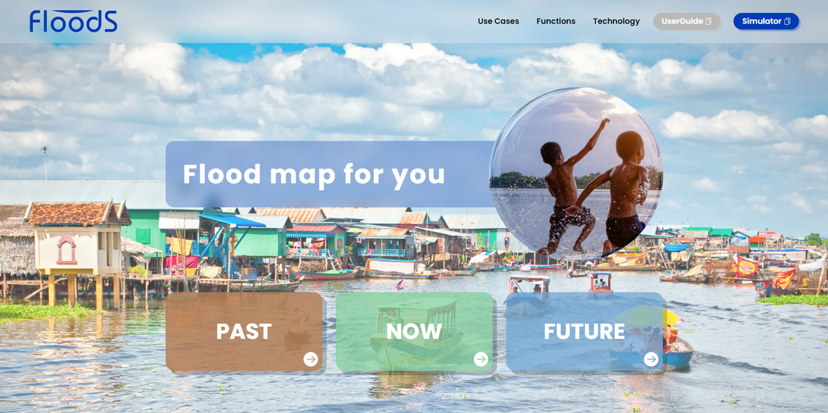
Using the FloodS Flood Forecasting Tool for Adaptation Planning at the City Level
February, 2024
Floods are among the most devastating consequences of climate change, and it is getting worse due to contributions of anthropogenic activities to the climate. Floods can occur anytime, anywhere, and can cause an unimaginable loss of life and property. The pouring rain and rising water levels can cause rivers to overflow, bringing catastrophic consequences. It's hard to wrap our heads around the number of lives lost due to floods. It's devastating to witness communities disappear in just a few hours. The scientific community, in collaboration with government agencies, has made significant efforts in developing flood simulation tools to address the challenges posed by climate change. As the result of the series of capacity building, collaboration and partnerships, simulation tools are continually developed to understand more about flooding over an area. These simulation tools play a crucial role in predicting and mitigating the impacts of flooding events. One notable development is the creation of web-based tools such as FloodS, that provide users with free and user-friendly access to flood simulation models. These tools enable individuals, communities, and even policymakers to better understand the potential risks associated with floods and make informed decisions regarding urban planning, infrastructure development, and disaster preparedness.
In order to understand the development and technical know-how of the FloodS tool, the e-learning series comprises 4 modules that provide information, tool demonstrations, and case scenarios.
Module 1: Flood Impact and Cost in a Changing Climate
The first module introduces how climate change has increased the frequency of floods and other natural weather-related events that we are witnessing globally. It will help us to understand the loss and damages, including loss of life, from the flooding impact of intensified climate change and how it will cost communities in the coming decades, especially disadvantaged communities, which will likely bear the brunt of the losses. It will end by suggesting some robust mechanisms for developing appropriate planning, which brings it to the next module in using the FloodS tool.
Module 2: Understanding the Operation of FloodS Tool
The second module discusses the tool’s basic features, technical specifications, and access information, among others. It will demonstrate the use of the tool along with developing a sample simulation model and interpreting it. The session provides a comprehensive understanding of why FloodS should be considered in planning for climate adaptation.
Module 3: Using FloodS Tool in Climate Adaptation Planning
The third module provides a brief overview of flood-related climate adaptation planning. It will then demonstrate how the FloodS tool can be used to prepare adaptation planning with a real-life case presentation from one of the cities in Japan. There will be a case to provide flood scenarios in response to land use changes and suggest a community adaptation plan.
Module 4: Flood Risk and Vulnerability Assessment in the Municipality of Paoay, Ilocos Norte: The Use of FloodS Web Tool
The last module is a detailed case study providing better understanding of the capabilities of FloodS to local government units (LGU) in the countryside that have the least access to flood simulation technology. A case study that provides an alternative scenario that helps the local communities.
