Participatory Land-use Management
- Laguna Lake, Philippines
ABOUT THIS ISSUE
Badly-planned land use conversion can lead to increased exposure to climate-related hazards at the watershed level
SOLUTION
PWLM helps communities understand the potential impacts of future land-use changes and climate changes at a watershed scale
Climate risks and land use changes
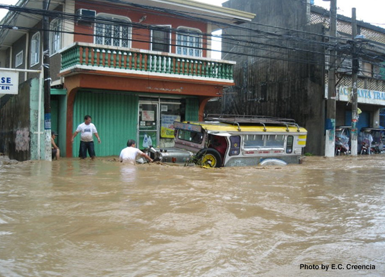
Many developing countries in Asia are rapidly urbanizing, and this process often results in large areas of natural/semi-natural ecosystems being converted to built-up urban areas. If not well planned, this land-use conversion can lead to increased exposure to climate-related hazards at the watershed level (in other words, the river basin level).
Tool for land-use planning and management at the watershed level
The Participatory Watershed Land-use Management (PWLM) tool uses participatory approaches and free modeling software to help local stakeholders understand the potential impacts of future land-use changes and climate changes at a watershed (i.e. river basin) scale. PWLM can be used to visualize how these future changes will affect a watershed’s exposure to flooding, water pollution, and other hazards, and to develop countermeasures to reduce the impacts of these hazards.
PWLM consists of four main steps:
- Scenario analysis;
- Impact assessment;
- Countermeasure identification; and
- Climate-resilient land use planning and implementation.
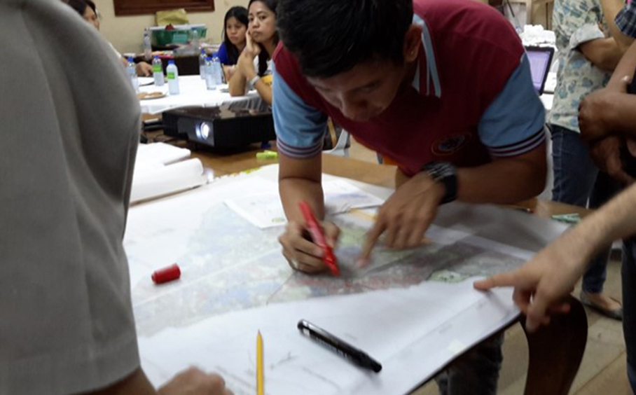
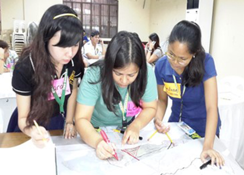
Step 1, Scenario analysis: Local governments take part in a participatory mapping activity, where they sketch out their planned land-use changes (these sketch maps are later digitized using the free software QGIS). Information on future climate scenarios is also collected (e.g. from government reports or using downscaled climate model data).
Step 2, Impact assessment: Free GIS and modeling software are used to assess the impacts of these future scenarios of land use and climate change. Table 1 shows examples of the impact assessment software used in the Laguna de Bay area of the Philippines.
Step 3, Countermeasure identification: Results of the different impact assessments are presented and discussed among local government officials, and countermeasures are identified to reduce the negative impacts of future land-use change and climate change. If multiple local governments are located within the same watershed, they try to work together to identify priority measures for the watershed as a whole. Examples of some identified measures that were identified in watersheds of the Laguna de Bay, the Philippines included:
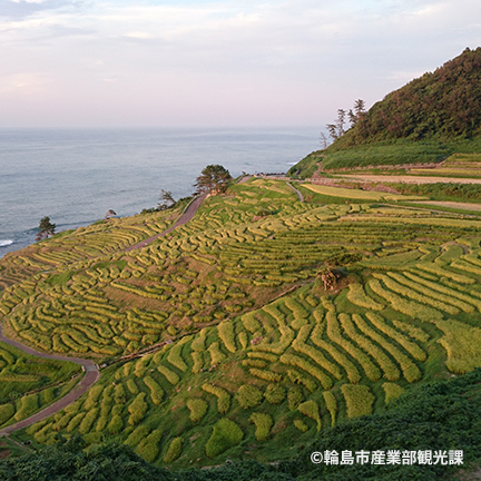
- conservation or restoration of upstream natural areas to reduce flood impacts downstream (as natural areas have lower rainfall-runoff rates than impervious urban areas);
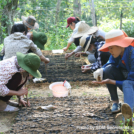
- tree planting along the river banks to reduce erosion and improve water quality;
- restricting development in highly flood-prone areas, and instead of preserving these areas for ecotourism and other recreational activities (to be utilized during times of no flooding).
Step 4, Climate-resilient land-use planning and implementation: Finally, local governments incorporate the identified countermeasures from Step 3 into their relevant plans and policies. For example, the City of Santa Rosa in the Philippines updated its “Comprehensive Land-Use Plan” and its “Local Climate Change Action Plan” to incorporate the prioritized countermeasures. If external funding is necessary, proposals for domestic or international climate change adaptation funds (e.g. the Green Climate Fund:) can be developed using the scenarios, impact assessments, and countermeasures identified using PWLM.
Tips for users
- The PWLM tool can be used to help identify and plan Nature-based Solutions for mitigating the future exposure/vulnerability/risks associated with these hazards.
- As a starting point, a training guidebook has been developed with instructions and tutoria ls for all of the software and participatory processes needed to conduct PWLM. Additional resources are available at the respective websites for each software (see the Table related to Step 2 for links).