User Activities Vol. 6
Exploring ClimoCast: A Project Manager's Perspective from Mozambique

In this sixth installment of our "User Activities" series, we continue to share practical use cases and insights from real users. Through this series, we hope to inspire more people to explore and make use of scientific tools related to climate change.
INTRODUCTION
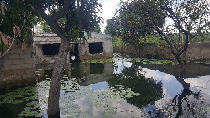
For this article, we had the opportunity to hear from a project manager in Maputo, Mozambique, who is currently working on developing an adaptation fund concept note addressing extreme weather events such as droughts and floods. In addition to this work, he is also involved in the education field, where he focuses on calculating the yield of inundated areas in order to determine the infrastructure needed to manage rainwater.
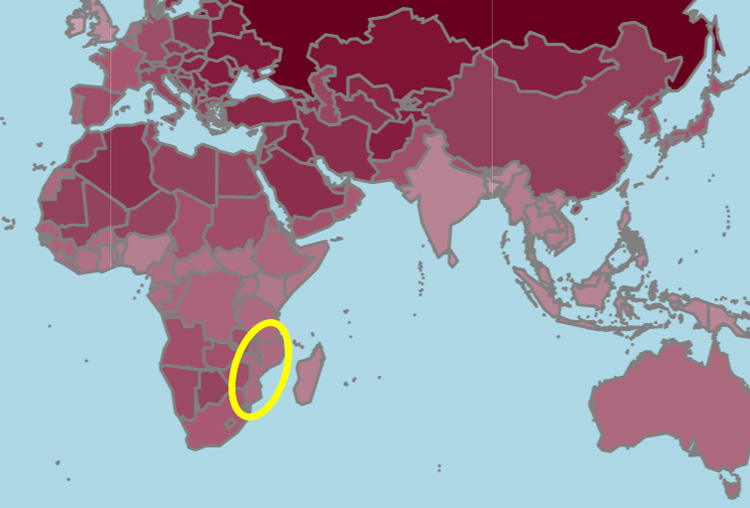
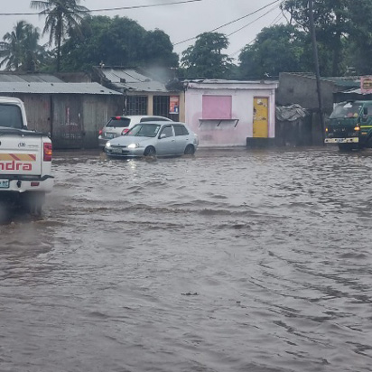
Photo provided by the interviewee.
After participating in the JICA training held in January 2026 at NIES, he became interested in AP-PLAT and its tools. His experience provides valuable insights into how climate information can support efforts to access adaptation finance and strengthen resilience at the local level.
INTERVIEW
Q: What challenges do you encounter when preparing concept notes to secure funding? Furthermore, how do you approach incorporating scientific evidence into your proposals?
A: When preparing a concept note there are sort of information, historic data, evidence that need to be collected, structured and adequately formulated to support the project objective. There is limited source of accurate information or data. Incorporating scientific evidence to the proposal, the book, study or research must be properly cited including the author and the year of publication.
Q: Tell us about your experience using "ClimoCast".
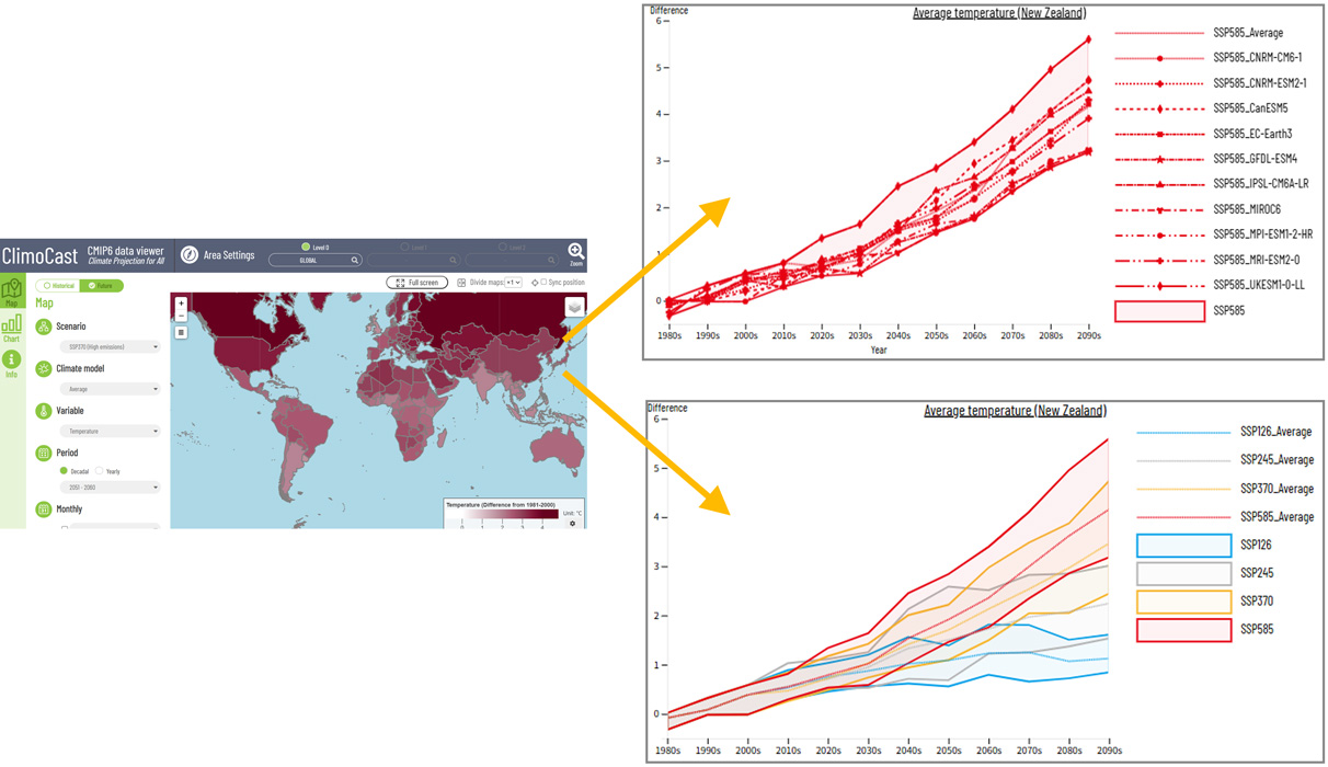
A: It is accessible and easy to use, with a good visual design and different options for building scenarios for simulations, making it useful for both education and decision-making. The ClimoCast has got different scenarios that are useful for comparing situations of low and high emissions. It is impressive to see the combination of multiple factors, the speed of data processing, and the simulation outputs. It is also helpful for education and raising awareness about climate change in schools and universities.
Q: What types of data are important for your research?
A: For my research, the most important data are related to precipitation over the past 50 years.
Q: How do you usually collect or analyze climate-related data?
A: I usually obtain information from the National Institute of Meteorology of Mozambique (INAM) and the National Institute of Statistics. They operate surface weather stations and conduct data analysis.
Q: What did you learn from using climate prediction tools such as ClimoCast and the Climate Impact Viewer?
A: I learned how to use data, models, and simulations to understand how the Earth's climate has changed in the past and how it may change in the future, including aspects such as temperature, extreme weather events, ecosystem changes, human impacts, sea level rise, and carbon cycle feedback.
Q: Do you think these tools can be applied to your research?
A: Yes, I do. Basically, they can provide greater consistency for the concept note and the overall proposal.
Q: What kinds of features or spatial scales would be useful in the future?
A: Feature: High-resolution local forecast; Extreme event prediction. Spatial Scale: Local scale (urban and rural)
Q: How do you hope your research will contribute to society or your local community?
A: The research will contribute to reducing the vulnerability of communities to floods, minimizing biodiversity loss, and improving the confidence and the attractiveness of the area.
IN CLOSING
We sincerely appreciate the valuable insights shared by the project manager from Mozambique. His experiences highlight the importance of integrating scientific tools into climate finance planning and decision-making. It was a sobering reminder for us to hear directly from a practitioner working on urgent challenges such as droughts and floods on the ground.
It is encouraging to see how climate projection tools can support the development of evidence-based proposals addressing extreme weather events. We hope that AP-PLAT can continue to contribute to capacity building and practical applications in diverse regions, and we look forward to further collaboration to advance climate change adaptation efforts.
REFERENCES
In recent years, one of the most notable impacts of climate change has been the increasing frequency of seemingly contrasting phenomena—droughts and floods—occurring simultaneously. These changes are causing complex impacts across agriculture, urban areas, ecosystems, and society as a whole. As a result, there is a growing need for strategies that combine science-based projections with adaptive approaches, rather than relying solely on reactive measures.
Source:
Global Climate Risks "Flooding and Drought Strike Africa at the Same Time"
Inside Climate News "Following Months of Drought, Floods in Kenya Kill More Than 40 People"
EM-DAT, the International Disaster Database
AP-PLAT highlights initiatives and case studies focused on addressing the impacts of droughts and floods.
- Generating Climate Hazard Data for Southeast Asian Megacities
- Nature-Based Solutions Reinforce Mekong Food Security
- Building Farmers' Capacity for Climate-Smart Agriculture in South Asia
- Ecosystem-Based Adaptation in the Greater Mekong Subregion: Thailand and Vietnam
(Posted : 10/Jul/2026)
