[NOTICE] The following AP-PLAT tools are temporarily unavailable due to maintenance.
- ClimoCast
- Climate Impact Viewer
User Activities Vol. 5 Exploring ClimoCast and Climate Impact Viewer : A Grants officer from Malawi
In this fifth installment of our “User Activities” series, we continue to share practical use cases and insights from real users. Through this series, we hope to inspire more people to explore and make use of scientific tools related to climate change.
INTRODUCTION
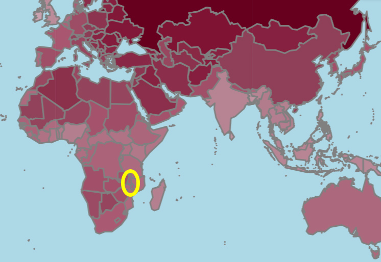
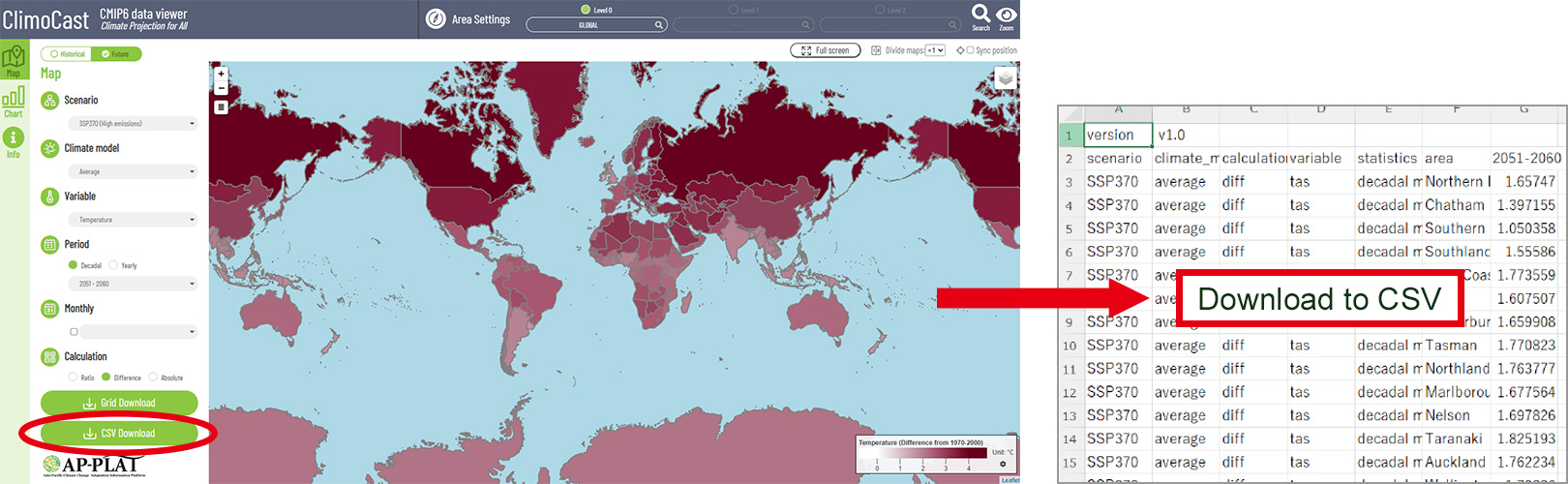
For this article, we focus on ClimoCast and Climate Impact Viewer. We were pleased to receive feedback from a Grants officer at Malawi Environmental Endowment Trust (MEET), who showed great interest in AP-PLAT during JICA training held in January 2026.
INTERVIEW
Q: What kind of role are you currently working on?
A: I am currently developing a research proposal on the impact of deforestation on temperature and rainfall patterns, with a focus on supporting conservation efforts in Michiru Mountain in Malawi. Michiru Mountain is one of the last remaining natural forest reserves within the city of Blantyre and is currently experiencing significant deforestation, which threatens its ecological integrity and local climate regulation. The study aims to better understand how forest loss influences local climate conditions and to inform sustainable forest management and restoration strategies.
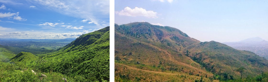
Michiru Mountain Reserve is rich in lush greenery, while the image on the right shows signs of deforestation.
Q: Could you tell us about your experience using ClimoCast and Climate Impact Viewer?
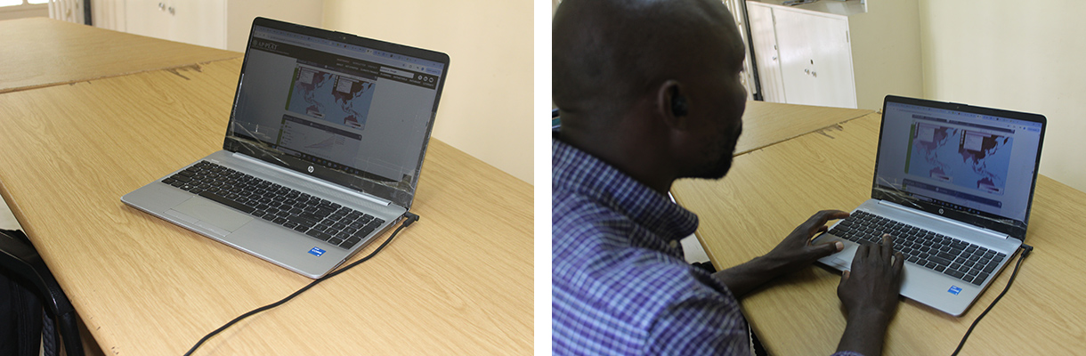
A: Using ClimoCast and Climate Impact Viewer has been very helpful in understanding climate data and its practical applications. I was introduced to the tools through the JICA FY2026 Thematic Training Course on Enhancing Access to Climate Finance, organized by the Japan International Cooperation Agency (JICA), OECC, and the National Institute for Environmental Studies in Tsukuba, Japan. The tool was particularly useful for improving my ability to interpret climate projections for planning and decision-making.
Q: What types of data are important for your research?
A: The research requires several types of data, including historical, current, and future climate data (temperature and rainfall), land use and land cover data to assess deforestation trends; and satellite imagery for spatial analysis. In addition, socio-economic and community-level data are important for understanding the drivers of deforestation and its impact on local livelihoods. These datasets will support a comprehensive analysis of how deforestation influences local climate patterns in the study area.
Q: How do you usually collect or analyze climate-related data?
A: I usually collect climate-related data from a combination of secondary sources, such as meteorological stations, satellite datasets, and online climate databases. For analysis, I use tools such as GIS and statistical software to examine trends in temperature and rainfall.
Q: What did you learn from using the climate prediction tools?
A: I have developed skills in interpreting climate projections and understanding future trends in temperature and rainfall using ClimoCast and Climate Impact Viewer. These tools have enhanced my ability to analyze and visualize climate scenarios, helping me assess the impacts of environmental changes such as deforestation. By applying these insights, I can support planning and decision-making processes and develop research with tangible results for conservation and sustainable environmental management.
Q: Do you think these tools can be applied to your research?
A: ClimoCast and Climate Impact Viewer can be directly applied to my research. They allow me to explore future climate scenarios, including trends in temperature and rainfall, and assess how environmental changes such as deforestation may impact ecosystems and human communities. By enabling the visualization and analysis of complex climate data, these tools help translate projections into actionable insights, supporting planning, conservation strategies, and policy decisions. Incorporating them into my research ensures that my work is data-driven, evidence-based, and capable of producing tangible, practical results.
Q: What kinds of features or spatial scales would be useful in the future?
A: Features that integrate higher-resolution spatial and temporal data would be extremely useful, allowing for more precise analysis of local climate impacts. This includes detailed land-use data, vegetation cover, topography, and hydrological features, which can influence temperature and rainfall patterns at fine scales.
Q: How do you hope your research will contribute to society or your local community?
A: I hope my research will provide actionable insights that help society and my local community adapt to and mitigate the impacts of climate change, while also contributing to the conservation of Michiru Mountain. By analyzing climate projections and assessing environmental changes such as deforestation, my work can inform sustainable land-use planning, conservation strategies, and resource management in the region. I aim to translate complex climate data into practical recommendations that support local decision-making, protect ecosystems, and enhance community resilience.
IN CLOSING
We sincerely appreciate the valuable insights shared by the Grants Officer from Malawi. His reflections highlighted the practical usefulness of AP-PLAT tools in supporting evidence-based decision-making and climate finance planning.
It is encouraging to see how these tools can help address real-world challenges, such as deforestation and climate resilience, at the local level. Michiru Mountain, known for its rich natural forests, wildlife, and popularity as a hiking destination, is an important area for conservation. We would be very pleased if AP-PLAT could contribute to its preservation through climate projection analysis.
We look forward to continued collaboration with partners in Africa and beyond to advance climate change adaptation.
REFERENCES
Forest conservation is also an urgent priority across the Asia-Pacific region. While AP-PLAT primarily focuses on this region, it features several case studies that address forest conservation and related adaptation efforts.
- Community-Based Forest Management in the Philippines
- Women-led community forest in Bishnupur, Nepal
- Reforestation for Sustainability in Ha Tinh, Viet Nam
- Community Forestry for Mitigation, Adaptation, Biodiversity Synergy – Kapilvastu, Nepal
- Participatory Forest Management Planning in León, Nicaragua
(Posted : 01/Jun/2026)
