 Asia - Indonesia, Japan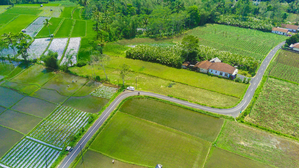
Challenge
Climate change threatens Indonesia’s food production. To address the issue, Indonesia introduced agricultural insurance, but its nationwide expansion is hindered by a lack of reliable meteorological data and institutional capacity.
Solution
Indonesia, in cooperation with JICA, secured reliable climate data, piloted an innovative agricultural insurance scheme, and expanded institutional capacity by training extension workers and supporting new regulations.
Overview
Agriculture is a cornerstone of Indonesia’s economy, but it faces a severe threat from shifting climate patterns, with food production projected to decline significantly over the coming decades. To ensure national food security and protect farmers, the Indonesian government introduced a state-backed agricultural insurance program, launching a rice farming insurance pilot in 2012 and expanding it nationwide by 2016. However, a rapid nationwide rollout exposed critical gaps in institutional capacity, system design, and the availability of highly accurate meteorological data needed to calculate risks and verify claims.
To bridge these gaps, the Japan International Cooperation Agency (JICA) partnered with Indonesian agencies, including the Meteorological, Climatological, and Geophysical Agency (BMKG), the Ministry of Agriculture (MOA), and the Ministry of National Development Planning (BAPPENAS) to launch a comprehensive technical cooperation project running from October 2017 to June 2023. The project focused on three key meteorological activities designed to climate-proof Indonesia’s agricultural insurance program, followed by a broader push for practical implementation, which included piloting new solutions and developing training programs.
Three key meteorological activities
- Preparing reliable weather data
- Improving seasonal forecasts and climate monitoring
- Analyzing long-term climate change risks
1. Preparing reliable weather data
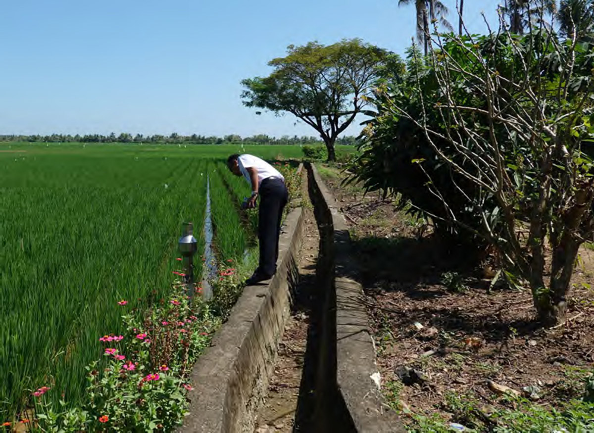
Financially sustainable insurance must be backed by accurate historical weather data. A scientific partnership between Indonesian and Japanese experts was formed to compile a robust 10- to 30-year historical dataset. Meteorologists from BMKG conducted rigorous ground-level evaluations, processing daily rainfall records from main weather observation stations and local rain posts, including 47 posts in East Java and 24 in South Sulawesi. To ensure accuracy across vast distances, BMKG experts mathematically verified the reliability of local rain posts against established main stations. Working alongside them, Japanese experts provided satellite technology to fill any observational gaps. They integrated global satellite rainfall maps (known as GSMaP) from the Japan Aerospace Exploration Agency (JAXA) and developed custom software to automatically extract the necessary hourly local data, guaranteeing comprehensive, quality-checked coverage.
2. Improving seasonal forecasts and climate monitoring
Because farmers rely heavily on knowing when the rainy season will start and end, the project targeted forecasting improvements across Indonesia’s Seasonal Zones (ZOM)—distinct local climate zones with clear wet and dry seasons. This activity had two main focus areas:
- Enhancing local seasonal forecasts: The team evaluated standard 1- to 6-month operational forecasts and conducted in-depth case studies in specific pilot areas (such as ZOM 152 in East Java and ZOM 299 in South Sulawesi) to understand why monsoon onset and retreat varies. Furthermore, they utilized advanced Sub-seasonal to Seasonal (S2S) models to successfully predict extreme heavy rainfall 2 to 4 weeks in advance.
- Monitoring massive global climate drivers: The project worked to improve operational forecasts for global phenomena that severely disrupt local weather, specifically the El Niño Southern Oscillation (ENSO) and the Indian Ocean Dipole (IOD), allowing authorities to anticipate widespread droughts or prolonged wet seasons.
By using these improved local forecasts alongside advanced warnings of global climate drivers, farmers can manage seasonal risks proactively. This empowerment helps reduce preventable crop losses, which indirectly supports the financial health of the insurance program.
3. Analyzing long-term climate change risks
Sustainable agricultural insurance must account for long-term climate shifts, requiring insurance providers to understand how localized temperature and rainfall patterns are projected to change in the future. Because standard global climate models are too broad – have too low-resolution – for local needs, they must be dynamically “downscaled” to a higher resolution. This is a complex process that demands large supercomputing power. To secure this data, two BMKG researchers traveled to Japan for 2.5 months to collaborate with the Meteorological Research Institute (MRI) and use their high-performance “Earth Simulator” supercomputer. They successfully downscaled a global climate model to a highly detailed 5km resolution tailored specifically for Indonesia.
This effort produced two distinct 10-year datasets: a historical baseline spanning 1981 to 1990, and a future climate projection spanning 2079 to 2088. By comparing the future projections against the established baseline, researchers could accurately measure expected localized changes. This data grants policymakers and insurers the precise visual insights necessary to adapt insurance premiums and coverage for decades to come.
Piloting new solutions and expanding capacity
With the meteorological foundation secured, the latter stages of the project focused on practical implementation, institutional strengthening, and capacity building.
In the traditional Paddy Farming Insurance (AUTP), whenever a farmer’s crop was damaged, insurance personnel (from state-owned insurance company Jasindo), local agricultural extension workers and the farmers had to physically visit the specific plot to measure the damage and process the claim. Project surveys revealed this was a major pain point that caused long delays and disputes.
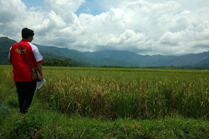
- Long delays: Farmers complained that they had to wait weeks for insurance personnel to survey the fields. This delay often forced them to either wait and miss the next planting season or replant their fields and destroy the physical evidence of the damage, causing their claims to be rejected.
- Disputes: There was often confusion and disagreement between farmers and assessors whether the field truly met the 75% damage threshold required for a payout.
The project addressed this specific challenge in two major ways:
Digitalizing the field surveys
The project trained extension workers and insurance personnel to use a new mobile application called PROTAN. This allowed them to walk around a damaged field with a smartphone to accurately measure it via GPS and upload photo evidence, drastically speeding up the traditional claim process.
Piloting Area Yield Index Insurance (AYII) to eliminate field surveys
The severe administrative burden of the individual site visits is why the project piloted the new Area Yield Index Insurance (AYII). Because AYII triggers payouts based on the average yield of an entire village (in Indonesian “desa”), it completely eliminates the need for individual farm visits and loss assessments. If the village’s actual yield – determined through rigorous Crop Cutting Experiments (CCEs) – drops below 85% of its historical benchmark, all insured farmers in that village receive a payout regardless of individual damage. Tested in Karawang (West Java) and Kendal (Central Java), this model greatly reduces administrative costs and moral hazard while offering faster claim settlements. The project even conducted trials using remote sensing and satellite data to estimate yields.
The project also developed new trainings and strengthened institutional frameworks.
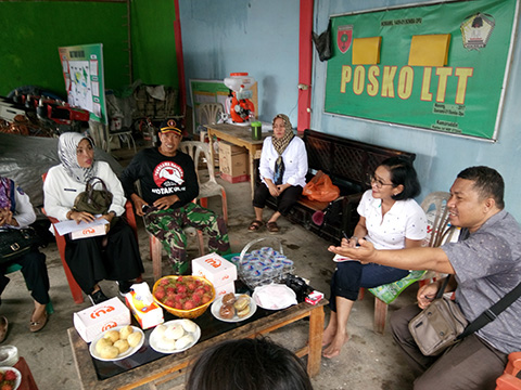
Trainings for local extension workers
To raise farmer awareness and participation, the project conducted intensive Training of Trainers (ToT) programs for extension workers and pest control specialists in East Java and South Sulawesi. Following its success, the Indonesian Ministry of Agriculture integrated these training modules into its regular national training programs in 2023.
Solidifying institutional frameworks
To ensure the long-term sustainability and cross-agency collaboration of the insurance programs, the project successfully supported the drafting of a new Presidential Regulation. Once finalized, this regulation will establish a national Agriculture Insurance Coordination Team, giving the program the official backing needed to secure long-term funding and protect farmers from an increasingly unpredictable climate.
Ultimately, agricultural insurance secures Indonesia’s food supply by providing farmers with the financial capital to quickly recover from climate shocks. While insurance cannot physically stop a disaster, surveys show that nearly 60% of insured farmers use their payouts to fund replanting for the following season, and 36% use it to replant within the same season. By ensuring fields remain active and production continues, this financial safety net prevents severe food price spikes that could otherwise drive millions into extreme poverty.
As the government prioritizes agricultural insurance in its National Medium-Term Development Plan (RPJMN 2025–2029), these foundational efforts will continue to protect both smallholder farmers and the nation’s broader food security against an increasingly unpredictable climate.
Project details
| Project title | Project of Capacity Development for the Implementation of Agricultural Insurance in the Republic of Indonesia |
|---|---|
| Period | October 2017 – June 2023 (5 years and 9 months) |
| Project site | Jakarta DKI, East Java Province, South Sulawesi Province, West Java Province (Karawang), and Central Java Province (Kendal) |
| Project partners | Japan: – Japan International Cooperation Agency (JICA) Indonesia: – Ministry of National Development Planning (BAPPENAS) – Ministry of Agriculture (MOA) – Ministry of Finance (MOF) – Meteorological, Climatological, and Geophysical Agency (BMKG) – PT Asuransi Jasa Indonesia (Jasindo) – a state-owned insurance company |
| Type of Cooperation | Technical cooperation project |
| Funding and other input | Japan: – Dispatch of 30 experts (4 long-term, 26 short-term) – Training programs in Japan – Provision of equipment Indonesia: – Placement of 66 counterpart and administrative personnel – Provision of facilities and local costs |
Acknowledgements
This initiative was implemented through the joint efforts of the Indonesian Ministry of National Development Planning (BAPPENAS), the Ministry of Agriculture (MOA), the Ministry of Finance (MOF), the Meteorological, Climatological, and Geophysical Agency (BMKG), and Jasindo, with technical cooperation and support from the Japan International Cooperation Agency (JICA). AP-PLAT expresses its sincere appreciation to all the dedicated teams involved in the project implementation, and especially to JICA for their support in the preparation of this article.
Related information
- JICA: Project of Capacity Development for the Implementation of Agricultural Insurance in the Republic of Indonesia (Japanese website)
- BAPPENAS: Project Completion Report (pdf)
- BAPPENAS: Capacity Development on Meteorological and Climate Data Analysis for Agricultural Insurance (pdf)
- BAPPENAS: AUTP Promotion and Feasibility Study on AYII (pdf)
- BAPPENAS: Area Yield Index Insurance Product Design (pdf)
- JICA: Mid-term Evaluation – Newsletter (pdf)
- JICA: AYII Field Survey Report – Newsletter (pdf)
- JICA: Project Completion Report, covering the 2017 – 2020 part of the project (Evaluation of meteorological observation data):
- Main text and Appendix A-D (Japanese, pdf)
- Appendix E (PPT slides, English, pdf)
- Appendix F Part 1, Part 2 (PPT slides, English, pdf)
- Appendix G (PPT slides, English, pdf)
 DISCOVER MORE

