 Asia - Bangladesh, India, Japan, Nepal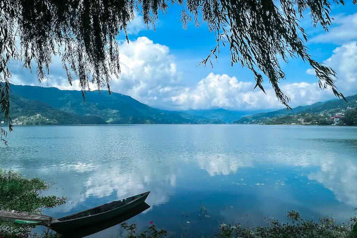
Challenge
Ecosystems face climate and socioeconomic pressures, and local planning often overlooks links to human well-being.
Solution
Use participatory mapping, household surveys, and stakeholder workshops to link ecosystem services with well-being and inform local planning.
Overview
Small watersheds in South Asia face saltwater, erosion, and land-use pressure that affect daily life. This project examined ecosystem services – the benefits people get from nature such as fish, clean water, flood protection, and forest products – and how changes to those services relate to people’s wellbeing. This project, supported by the Asia‑Pacific Network for Global Change Research (APN), was led by Shamik Chakraborty (University of Toyama, Japan).
The project team used household surveys, participatory mapping, and satellite images to locate ecosystem services, track how access is changing, and discuss practical choices with community users and officials in three regions.
In Koyra, Bangladesh, many households depend on Sundarbans resources, including fish, crabs, honey, and wood. The team mapped where these services are used and described how salinity and flooding impact access and wellbeing.
In the Lakhwar watershed, India, the team linked land-use change with reported shifts in water availability and rainfall and documented conversion from agriculture to built-up areas.
Around Phewa Lake, Nepal, tourism and hillside farming affect ecosystem services from forests and the lake. The team held key-informant interviews and focus group discussions with Harpan River users, fishers, and community forest and agroforestry groups. The team used simple ratings to compare landscape values and pressures.
Stakeholder engagement
Partners engaged stakeholders through targeted events at each site. In Beppu, Japan, the team presented early findings on resource use and traditional knowledge at a World Heritage community workshop to collect expert feedback. In Koyra, Bangladesh, focus groups with traditional resource users and a structured household survey mapped resource use, verified observed changes, and ranked values. In Roorkee, India, a final workshop with partner universities validated results and discussed how agencies could use the findings in Nepal and India. In Pokhara, Nepal, partners held a dissemination workshop to review progress, align field methods, and plan next steps with university and government participants. They also ran a technical session at an applied science conference to test the approach with academics and officials.
Outcomes and results
- Conducted 2 workshops, 2 regional conferences, and 1 dissemination meeting.
- Trained 7 early-career researchers and engaged 4 professional researchers across institutions.
- Produced 1 co-edited book and 1 regional conference proceeding.
- Compiled survey datasets and produced map products, including participatory maps, land-use change map sets, and site portfolios with value ratings.
- Sundarbans/Koyra, Bangladesh: Ran 4 focus groups (6 participants each) and 115 household surveys; used satellite images from Jan 2000 and Jan 2010 (Landsat 5) and Feb 2020 (Sentinel-2) to make maps that classify every area into three land-cover categories; digitized community maps to create hotspot maps for fish, crab, beehive, and timber; found highest-value big-fish areas fell 20.98% from 2000 to 2020, crab hotspots rose 6.68% from 2000 to 2010 then fell 44.86% by 2020, and beehive hotspots fell 17.80% from 2000 to 2020.
- Lakhwar, India: Land-use change mapped between 2011 and 2021 and linked with farmer reports of falling groundwater and irregular rainfall; evidence prepared for local planning.
- Phewa Lake, Nepal: Key-informant interviews and focus groups held with Harpan River users, Khapaudi fishers, Chapakot community agroforestry, and Raniban and Simpani community forests; 14 landscape values rated and summarized for discussion with authorities.
Project details
| Project title | Interlinkage of Ecosystem Services and Human Wellbeing to Enhance Climate Smart Landscapes in Small Watersheds: Analysis for Policy-Relevant Solutions in South Asian Context |
|---|---|
| Year started | 2019 |
| Duration | 2 years |
| Countries involved | Bangladesh, India, Japan, Nepal |
| Funding awarded | US$47,320 |
| Funded by | Asia‑Pacific Network for Global Change Research (APN) |
| Grant DOI | https://doi.org/10.30852/p.4604 |
| Program | Collaborative Regional Research Programme (CRRP) |
| Project reference number | CRRP2019-04MY-Chakraborty |
| Project leader | Shamik Chakraborty (University of Toyama, Japan) |
Acknowledgements
This project was supported by the Asia-Pacific Network for Global Change Research (APN) under its Collaborative Regional Research Programme (CRRP). Acknowledgments also go to University of Dhaka (Bangladesh), Indian Institute of Technology Roorkee (India), and Pokhara University (Nepal).
Related information
- Project Permalink
- Project Final Report
- Chakraborty, S., Chatterjee, A., Kumar, P. (Eds). Urban Water Ecosystems: Opportunities and challenges in Asia and Africa. Routledge, December 2024 (15 Chapters). https://www.routledge.com/Urban-Water-Ecosystems-in-Africa-and-Asia-Challenges-and-Opportunities-for-Conservation-and-Restoration/Chakraborty-Chatterjee-Kumar/p/book/9781032565354?srsltid=AfmBOooCroEXW-WrRb9bh6k1-BJWVH0W0xkpq6ge_0lwtKtJ1RbUn17p
- Flyer: Enhancing Human Wellbeing through Ecosystem-Based Solutions in Asia. https://www.apn-gcr.org/publication/interlinkage-of-ecosystem-services-and-human-wellbeing-to-enhance-climate-smart-landscapes-in-small-watersheds-analysis-for-policy-relevant-solutions-in-south-asian-context/
- APN Facebook
- APN LinkedIn
- APN X
 DISCOVER MORE

