Challenge
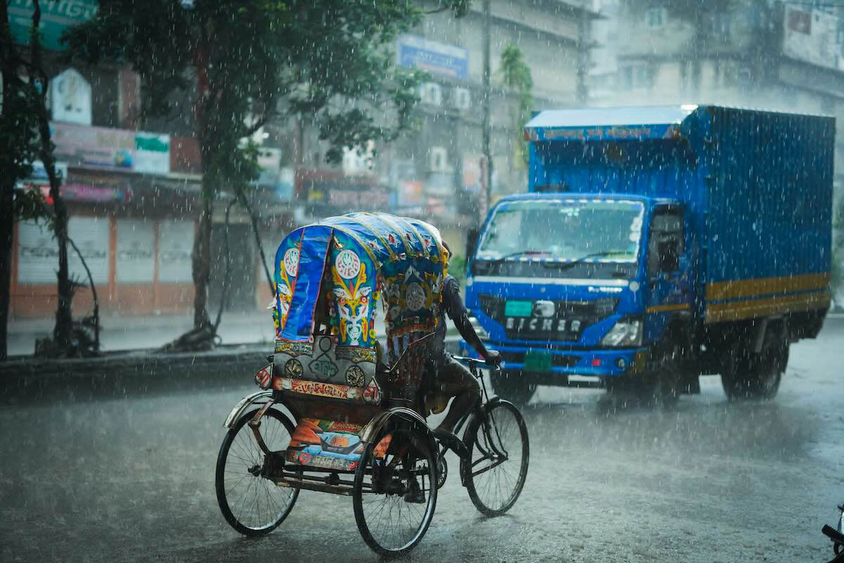
Cities and basins in South Asia need fine‑scale climate extremes information, yet observations and models often miss local detail and uncertainty.
Solution
Create 5‑km reference datasets, downscale multiple models, test extremes and impacts, and share guidance for adaptation planning.
Overview
South Asia lives with monsoon swings, flooding, heat, and emerging health risks. Planning for resilient cities and water systems requires more than national averages. This project, supported by the Asia Pacific Network for Global Change Research (APN), was led by Shaukat Ali (Global Change Impact Studies Centre, Pakistan). The project team set out to improve confidence in local-scale projections by building high‑-‑resolution reference data, applying statistical and dynamical downscaling, and assessing extremes and sector impacts.
The team focused on gaps that make adaptation decisions hard: sparse observations, scale mismatches between station data and global climate models, and uncertainty across methods. To address these gaps, the team prepared daily temperature and precipitation datasets at 5km resolution for Bangladesh, Nepal, and Pakistan, developed and compared downscaling approaches, and evaluated climate-extreme indices and sector indicators.
Publications from the project cover rainfall variability in Pakistan’s monsoon region, hydrology in the Upper Indus Basin, city-level hotspot mapping, dengue transmission suitability, and the South Asia 5km dataset itself. Together, these strands showed how more resolved data and methods made extremes more decision-ready across contexts from water resources to health.
Data and methods
The researchers merged quality-controlled station observations with reanalysis to produce the 5km reference dataset, then applied and compared bias-correction methods to downscale multi-model ensembles.
Analyses used standard climate extreme indices (such as very wet days and consecutive wet days) alongside tailored sector metrics, for example, hydrological inflows and dengue transmission-suitable days. Regional climate model projections at 25-km resolution from CORDEX CORE were used to assess monsoon changes and Upper Indus Basin behavior.
Coupled Model Intercomparison Project Phase 6 (CMIP6) global climate models were analyzed and validated against historical observations (1981–2014) for precipitation and temperature to assess their regional performance. The results guided the selection of preferable models for subsequent downscaling and scenario analysis.
Findings and implications across the region
Results indicated more frequent and intense hot extremes and shifting rainfall behavior over Pakistan, with increases in flood-relevant indices in the monsoon region. In the Upper Indus Basin, warming at 1.5°C and 2.0°C corresponds with higher river inflows driven by snow and glacier melt, with the greatest future increases falling in the shoulder seasons. A mapped dataset of daily temperature and rainfall, at 5-km resolution, was created for Bangladesh, Nepal, and Pakistan to serve as a common baseline for analysis.
Health impacts matter too: dengue transmission-suitable days showed a future shift toward higher-altitude cities, with some current hotspots remaining at risk. City hotspot mapping identified where the hottest, wettest, and driest futures intersect, which can aid local governments in prioritizing planning.
Capacity and communication
The project included training and science communication to connect methods and findings with decision-makers and early career professionals. Materials emphasized robust methods, open sharing of tools and data, and the value of cross-country collaboration for adaptation planning.
Outcomes and results
- A daily temperature and rainfall dataset at 5-km resolution, covering 1981–2016 for Bangladesh, Nepal, and Pakistan, was built by combining readings from national weather stations with global climate datasets, giving a shared baseline for analysis.
- CMIP6 validation in Bangladesh, Nepal, and Pakistan ranked global climate models by ability to reproduce 1981–2014 precipitation and air temperature at annual and seasonal scales, identifying top models by country and region for projections and impact studies.
- In the Upper Indus Basin, river inflows increased most in October under RCP4.5 (about 38% at 1.5°C, about 65% at 2.0°C) and in April under RCP8.5 (about 37% at 1.5°C, about 62% at 2.0°C).
- Globally, 1.5°C and 2.0°C thresholds were projected around 2029 and 2040, while over Pakistan the best-performing models indicated 2012 for 1.5°C and 2025 for 2.0°C under RCP8.5.
- High-resolution projections showed that the summer monsoon could push farther north into the Upper Indus Basin, with more June–August rainfall there and mixed changes across Pakistan, which points to shifting exposure to heavy rain rather than a single percentage increase everywhere.
- City hotspot mapping identified Pakistan-only hotspots for heat, wetness, and dryness under future scenarios, highlighting increased heat exposure in parts of Sindh and southern Punjab, wetter hotspots in the northern highlands, and persistent dry-zone risk in the arid west.
- Dengue transmission-suitable days shifted toward higher-altitude cities over time, and Karachi, Islamabad, and Balakot remained highly vulnerable across future periods.
- Capacity building included workshops in China, Pakistan, and Nepal, a 6-month university course for female researchers, and outreach that achieved about 60% female participation, alongside science-to-policy communication.
- A list of peer-reviewed output for this project is available on the APN project page (Project Permalink).
Project details
| Project title | Towards Robust Projections of Climate Extremes and Adaptation Plans over South Asia |
|---|---|
| Year started | 2018 |
| Duration | 3 years |
| Countries involved | Bangladesh, China, Japan, Nepal, Pakistan, Republic of Korea, United States of America |
| Funding awarded | US$123,485 |
| Funded by | Asia‑Pacific Network for Global Change Research (APN) |
| Grant DOI | https://doi.org/10.30852/p.4583 |
| Program | Collaborative Regional Research Programme (CRRP) |
| Project reference number | CRRP2018-04MY-Ali |
| Project leader | Shaukat Ali (Global Change Impact Studies Centre, Pakistan) |
Acknowledgements
This project was supported by the Asia-Pacific Network for Global Change Research (APN) under its Collaborative Regional Research Programme (CRRP). Acknowledgments also go to APEC Climate Center (Republic of Korea), Chinese Academy of Sciences (China), East West University (Bangladesh), National Research Institute for Earth Science and Disaster (Japan), Oak Ridge National Laboratory (United States), International Centre for Integrated Mountain Development (Nepal), Asian Development Bank (Philippines), University of Engineering & Technology Peshawar (Pakistan), and Nepal Academy of Science and Technology (Nepal).
Related information
- Project Permalink
- Project Final Report
- A list of peer-reviewed output for this project is available on the APN project page.
- APN Facebook
- APN LinkedIn
- APN X
Keywords
- # Case Study
- # Asia
- # Bangladesh
- # China
- # Japan
- # Nepal
- # Pakistan
- # South Korea
- # United States
- # Adaptation Planning/Policy
- # Climate Projection
- # Disaster Prevention/Disaster Mitigation
- # Education/Awareness/Information
- # Impact Assessment/Risk Assessment
- # International Cooperation
- # Research/Innovation
- # Human Health
- # Infrastructure
- # Local Communities
- # Natural Disasters
- # Water Environment/Water Resources