Challenge
Climate change and urbanization affect groundwater recharge and decrease groundwater levels in Asian cities.
Solution
Build comparable city maps of groundwater resilience using climate and urbanization scenarios, and give clear guidance for action.
Overview
Groundwater underpins the water supply for many Asian cities. In Bangkok’s peri-urban districts, Kathmandu’s fast-growing valley, Ho Chi Minh City’s outskirts, and across Lahore’s plains, wells buffer households, factories, and farms. But climate shifts and rapid urban growth change aquifer recharge and the intensity of groundwater pumping. This project asked where groundwater is most resilient, where it is most at risk, and what city leaders should do next. With support from the Asia-Pacific Network for Global Change Research (APN), Sangam Shrestha (Asian Institute of Technology, Thailand) led this project.
The project team built and applied a comparable framework to four cities/urban areas: Bangkok and its vicinity, Ho Chi Minh City, Lahore, and Kathmandu Valley, so results could inform local planning and also be compared across places. The framework combined climate scenarios, land‑use change, water demand and abstraction, and groundwater system response to produce city‑level resilience maps and practical guidance. Climate scenarios used Representative Concentration Pathways (RCP4.5 and RCP8.5), standard greenhouse gas scenarios that represent medium- and higher-emissions trajectories, while urban development was explored through low-, medium-, and high-urbanization scenarios. Each city’s analysis linked modeled recharge and groundwater levels with human pressures to identify where resilience is stronger and where targeted management is needed.
Modeling and mapping
Using CORDEX regional climate models, land-use projections from Dyna-CLUE, hydrologic recharge models such as WetSpass and SWAT, and groundwater simulations with GMS-MODFLOW, the project estimated changes in recharge and demand and how combined pressures would affect groundwater levels.
These inputs fed a multi-parameter resilience framework that integrates climate exposure, aquifer sensitivity, and human-development pressure to classify zones as more or less resilient to combined stress. The outputs include resilience maps and city briefs that translate complex modeling into clear zones where protection, managed aquifer recharge, demand management, or conjunctive use should be prioritized.
Tools and data products
Beyond maps, the project generated outlooks for climate and land‑use change, water demand and groundwater abstraction under different urbanization pathways, and a documented method cities can reuse. The approach was designed for data‑limited settings, using available records, openly documented climate projections, and local knowledge to close gaps. Results were shared through a dedicated website so partners and practitioners can access methods and findings.
Stakeholder engagement
Collaborators from universities and agencies in Nepal, Pakistan, Thailand, and Vietnam reviewed the framework, shared local data, and discussed how results fit ongoing planning. Regional workshops and partner meetings enabled cross-city learning on what works in one basin and what needs adapting elsewhere. This exchange helped ensure that resilience mapping did not remain academic, but informed utilities, groundwater departments, and urban planners.
Specific findings emerged from the target regions.
Kathmandu Valley, Nepal
Resilience maps indicated neighbourhoods where recharge improvement and stricter groundwater governance would yield the greatest benefit, and model results showed declines in recharge under medium and high urbanization with more favorable conditions in low-urbanization areas.
Lahore, Pakistan
Climate variability and high abstraction intersected in parts of the plains, and the mapping pointed to priority zones for governance measures that stabilize levels under higher-demand scenarios.
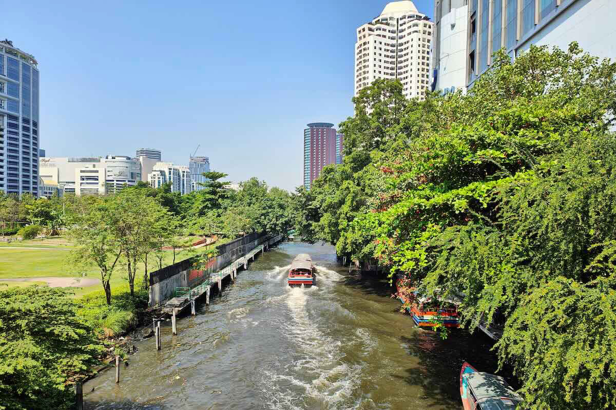
Bangkok and vicinity, Thailand
Groundwater remained an essential buffer in peri-urban areas, and scenario mapping showed zones where urban growth would lower recharge, guiding managed aquifer recharge and conjunctive use with surface water.
Ho Chi Minh City, Vietnam
Urban expansion and industrial demand increased pressure on aquifers, and scenario runs showed reduced recharge in medium- and high-urbanization zones. The framework identified areas where recharge protection and demand management can maintain resilience as the city grows.
Outcomes and results
- A practical, comparable framework was produced for assessing groundwater resilience to climate change and human development in Asian cities.
- Climate, land-use, water-demand, and groundwater-abstraction outlooks were produced for the four cities under RCP4.5 and RCP8.5 and under low-, medium-, and high-urbanization scenarios.
- City-scale groundwater-resilience maps and briefs were delivered for the four urban areas.
- 3 regional workshops – 1 in person and 2 hybrid – were held to share methods and findings with collaborators and stakeholders.
- 6 peer‑reviewed journal articles published (see Related information), along with five conference presentations.
- 4 theses completed (three master’s, one PhD) building regional expertise in groundwater resilience assessment.
- 16 researchers from 4 countries were trained to apply the framework in data‑limited urban settings.
- A project website was established to disseminate methods, datasets, and maps.
Project details
| Project title | Mapping Groundwater Resilience to Climate Change and Human Development in Asian Cities |
|---|---|
| Year started | 2018 |
| Duration | 3 years |
| Countries involved | Japan, Nepal, Pakistan, Thailand, Vietnam |
| Funding awarded | US$92,980 |
| Funded by | Asia‑Pacific Network for Global Change Research (APN) |
| Grant DOI | https://doi.org/10.30852/p.4580 |
| Program | Collaborative Regional Research Programme (CRRP) |
| Project reference number | CRRP2018-01MY-Shrestha |
| Project leader | Sangam Shrestha (Asian Institute of Technology, Thailand) |
Acknowledgements
This project was supported by the Asia-Pacific Network for Global Change Research (APN) under its Collaborative Regional Research Programme (CRRP). Acknowledgments also go to Institute for Global Environmental Strategies (IGES), Japan; Department of Groundwater Resources (DGR), Thailand; Division of Water Resources Planning and Investigation for the South of Vietnam (DWRPIS), Vietnam; International Waterlogging and Salinity Research Institute (IWASRI), Pakistan; Center of Research for Environment, Energy and Water (CREEW), Nepal; and Asian Institute of Technology (AIT), Thailand.
Related information
- Project Permalink
- Project Final Report
- Aslam, R. A., Shrestha, S., Pal, I., Ninsawat, S., Shanmugam, M. S., & Anwar, S. (2020). Projections of climatic extremes in a data poor transboundary river basin of India and Pakistan. International Journal of Climatology, 40(11), 4992–5010. Portico. doi: 10.1002/joc.6501
- Adhikari, R. K., Mohanasundaram, S., & Shrestha, S. (2020). Impacts of land-use changes on the groundwater recharge in the Ho Chi Minh city, Vietnam. Environmental Research, 185, 109440. doi:10.1016/j.envres.2020.109440
- Shrestha, S., Neupane, S., Mohanasundaram, S., & Pandey, V. P. (2020). Mapping groundwater resiliency under climate change scenarios: A case study of Kathmandu Valley, Nepal. Environmental Research, 183, 109149. doi:10.1016/j.envres.2020.109149
- Neupane, S., Shrestha, S., Ghimire, U., Mohanasundaram, S., & Ninsawat, S. (2021). Evaluation of the CORDEX regional climate models (RCMs) for simulating climate extremes in the Asian cities. Science of The Total Environment, 797, 149137. doi:10.1016/j.scitotenv.2021.149137
- Ghimire, U., Shrestha, S., Neupane, S., Mohanasundaram, S., & Lorphensri, O. (2021). Climate and land-use change impacts on spatiotemporal variations in groundwater recharge: A case study of the Bangkok Area, Thailand. Science of The Total Environment, 792, 148370. doi:10.1016/j.scitotenv.2021.148370
- Neupane, S., Ghimire, U., Shrestha, S., Mohana Sundaram, S., Shivakoti, B. R., Lorphensri, O., … Malla, R. (2023). Mapping groundwater resilience to climate change and human development in Asian cities. APN Science Bulletin, 13(1), 163–198. doi:10.30852/sb.2023.2227
- APN Facebook
- APN LinkedIn
- APN X
Keywords
- # Case Study
- # Asia
- # Japan
- # Nepal
- # Pakistan
- # Thailand
- # Vietnam
- # Adaptation Planning/Policy
- # Capacity Building
- # Climate Projection
- # Disaster Prevention/Disaster Mitigation
- # Education/Awareness/Information
- # Impact Assessment/Risk Assessment
- # International Cooperation
- # Participatory Approach
- # Research/Innovation
- # Infrastructure
- # Local Communities
- # Natural Disasters
- # Water Environment/Water Resources