Challenge
Lack of fine-resolution data on marine organisms and land use hampers efforts to assess and respond to ecosystem vulnerability under climate change.
Solution
APN-funded participation at ICRC-CORDEX 2019 gave Asia-Pacific early-career scientists with valuable international networking and research exposure.
Overview
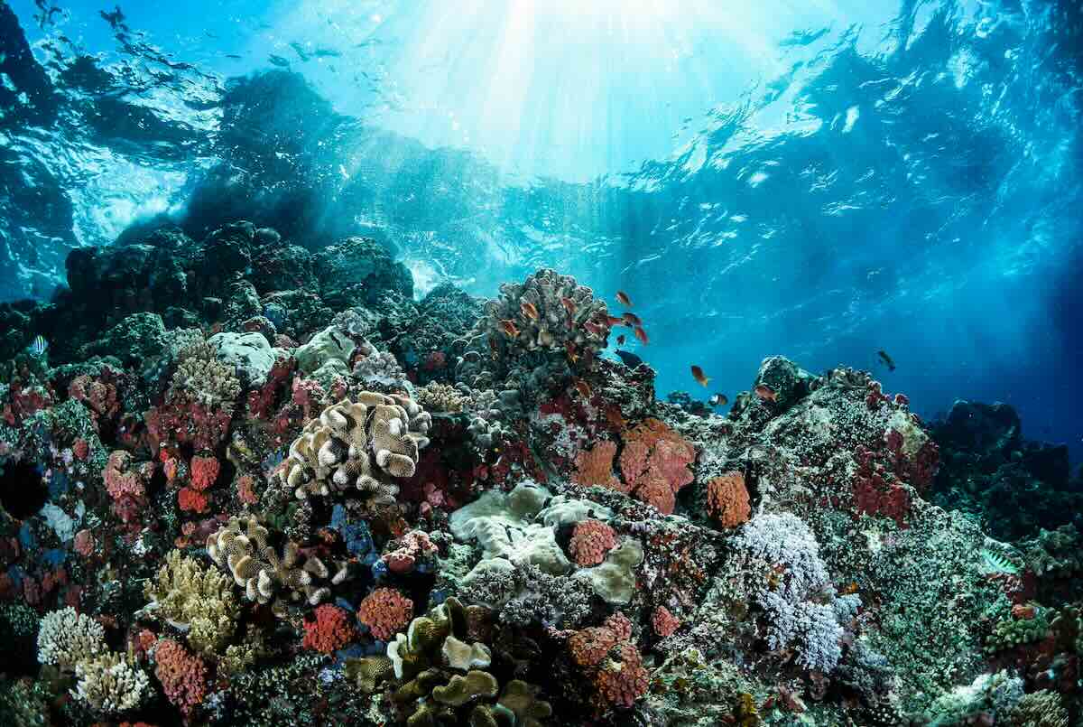
The Asia-Pacific region has some of the world’s richest and most vulnerable marine ecosystems. However, fragmented and coarse-resolution data make it difficult to assess how global environmental changes affect these systems. Existing models have trouble capturing key variations in ocean biology, coastal development, and climate interactions. A collaborative Asia-Pacific Network for Global Change Research (APN) project, led by Eko Siswanto (Japan Agency for Marine-Earth Science and Technology, Japan), addressed this gap by bringing together oceanographers, data scientists, and remote sensing specialists from across Asia.
The project aimed to build high spatiotemporal resolution datasets – data that offer detailed observations across time and space – focused on low-trophic-level aquatic organisms (such as phytoplankton, which form the base of the aquatic food web) and land-use/land-cover (LULC) dynamics. These datasets are essential for modeling ecosystem vulnerability and resilience, yet they are often inconsistent or unavailable across borders.
The researchers harmonized satellite and reanalyzed data to generate maps and time series that improve regional understanding of ecological change. These outputs support regional frameworks for vulnerability assessment and guide adaptation and mitigation strategies for marine and coastal management.
Methodology
The researchers applied advanced satellite remote sensing techniques, including ocean color observations, to monitor chlorophyll-a concentrations and phytoplankton biomass – the total mass of microscopic algae that drive ocean productivity – at fine spatial and temporal scales.
Among the key input data were satellite remote sensing data constructed by this project and modeled/reanalyzed data acquired from their sources. For phytoplankton chlorophyll-a (Chl-a) data were acquired from the Ocean Colour Climate Change Initiative project, GloColour project, and the NASA Ocean Biology Processing Group (OBPG). Land vegetation index data were acquired from the OBPG and the NASA Land Processes Distributed Active Archive Center.
Processing methods included cloud masking, anomaly detection, and time series smoothing to better reveal trends in primary production and biological seasonality.
Along with biological variables, the researchers produced high-resolution LULC maps using Landsat (a long-running Earth observation program that captures land imagery) data and classification algorithms, such as random forest and support vector machines. These maps captured spatial patterns of urbanization, agriculture, and natural vegetation across coastal and inland zones. Field surveys and validation datasets from partner countries were used to confirm classification accuracy.
The researchers also implemented a model-data integration framework. Sensitivity experiments tested the model’s response to environmental changes, improving its predictive accuracy. All output was compiled into open-access datasets and spatial products for policy, research, and educational purposes.
Key results and findings
- The project produced high-resolution (1 km) monthly satellite-derived maps of chlorophyll-a across the Asia-Pacific region, covering nearly two decades of data.
- Land-use/land-cover datasets were generated for key coastal areas, identifying patterns of land conversion and habitat fragmentation.
- The integrated datasets revealed hotspot regions of ecological change, including rapid coastal development zones in Southeast Asia and phytoplankton decline in subtropical seas.
- Collaboration across eight countries led to improved capacity in satellite data processing, ecosystem modeling, and coastal management applications.
- The integrated datasets revealed hotspot regions of ecological change, including rapid coastal development zones in Southeast Asia and phytoplankton decline in subtropical seas.
Project outputs
- 26 peer-reviewed scientific articles published
- 10 postgraduate and early-career researchers involved, many of whom then advanced their academic careers
- Created regional data portal, Low-Trophic Level Organism Map of Asia-Pacific (LowTroMAP) to distribute remote-sensing-based datasets
- Provided science-based insights on climate impacts for low- and high-trophic-level species, aiding policy and adaptation
- 6 annual workshops on remote sensing successfully conducted
Future outlook
Project results underscore the value of harmonized, high-resolution data in tracking ecosystem vulnerability under climate change. As regional coastal and marine zones face mounting pressures from both climate drivers and human activity, future research needs to deepen model accuracy, extend observation systems, and promote transboundary collaboration. It’s imperative to integrate data on ocean circulation, fisheries, and socioeconomic indicators for comprehensive risk assessments.
Continued development of open-access platforms and capacity-building initiatives can help ensure that tools remain accessible and actionable for a wide range of stakeholders. The researchers recommended expanding the use of such models in regional planning and encourages stronger links between earth observation science and local policy design.
Ultimately, the project contributes to long-term efforts toward ecosystem-based climate adaptation and cross-sector resilience planning.
Project details
| Project title | Developing High Spatiotemporal Resolution Datasets of Low-Trophic Level Aquatic Organism and Land-Use/Land-Cover in the Asia-Pacific Region: Toward an Integrated Framework for Assessing Vulnerability, Adaptation, and Mitigation of the Asia-Pacific Ecosystems to Global Climate Change |
|---|---|
| Year started | 2015 |
| Duration | 3 years |
| Countries involved | China, Indonesia, Japan, Malaysia, Republic of Korea, Thailand, United States of America, Vietnam |
| Funding awarded | US$34,000 (Year 1); US$34,000 (Year 2); US$24,000 (Year 3); total: US$92,000 |
| Funded by | Asia-Pacific Network for Global Change Research (APN) |
| Program | Climate Adaptation Framework (CAF) |
| Grant DOI | https://doi.org/10.30852/p.4539 |
| Project reference number | CAF2015-RR11-NMY-Siswanto CAF2016-RR06-CMY-Siswanto CAF2017-02CMY-Siswanto |
| Project leader (organization, country) | Eko Siswanto (Japan Agency for Marine-Earth Science and Technology, Japan) |
Acknowledgements
This project was supported by the Asia-Pacific Network for Global Change Research (APN). The research team benefitted from the collaboration of partner institutions across all eight countries, as well as the contributions of data providers including NASA, JAXA, and national ministries. Students, research staff, and coastal managers are also acknowledged for taking part in model validation and fieldwork.
Related information
- Asia-Pacific Network for Global Change Research. Developing high spatiotemporal resolution datasets of low-trophic level aquatic organism and land-use/land-cover in the Asia-Pacific region: Toward an integrated framework for assessing vulnerability, adaptation, and mitigation of the Asia-Pacific ecosystems to global climate change. https://www.apn-gcr.org/project/developing-high-spatiotemporal-resolution-datasets-of-low-trophic-level-aquatic-organism-and-land-use-land-cover-in-the-asia-pacific-region-toward-an-integrated-framework-for-assessing-vulnerability/
- Buranapratheprat, A., Luanadkrob, P., Yanagi, T., Morimoto, A., & Qiao, F. (2016). The modification of water column conditions in the Gulf of Thailand by the influences of the South China Sea and monsoonal winds. Continental Shelf Research, 118, 100–110. https://doi.org/10.1016/j.csr.2016.02.016
- Iskandar, I., Sari, Q. W., Setiabudidaya, D., Yustian, I., & Monger, B. (2017). The distribution and variability of chlorophyll-a bloom in the southeastern tropical Indian Ocean using empirical orthogonal function analysis. Biodiversitas, 18(4), 1546–1555. https://doi.org/10.13057/biodiv/d180432
- Iskandar, I., Sari, Q. W., Siswanto, E., & Setiyabididaya, D. (2016). Surface chlorophyll-a bloom along the southern coast of Java during 2015 Indian Ocean Dipole event. Proceeding of 2nd IC-SEE, 668–671.
- Lumban-Gaol, J., Siswanto, E., Mahapatra, K., Natih, N. M. N., Nurjaya, W., Hartanto, M. T., … Permana, A. (2021). Impact of the strong downwelling (upwelling) on small pelagic fish production during the 2016 (2019) negative (positive) Indian Ocean Dipole events in the eastern Indian Ocean off Java. Climate, 9(2), 29. https://doi.org/10.3390/cli9020029
- Matsumoto, K., Sasai, Y., Sasaoka, K., Siswanto, E., & Honda, M. C. (2021). The formation of subtropical phytoplankton blooms is dictated by water column stability during winter and spring in the oligotrophic northwestern North Pacific. Journal of Geophysical Research: Oceans, 126(4), e2020JC016864. https://doi.org/10.1029/2020JC016864
- Sarker, M. L. R., Janet, N., Mansor, S. A., Ahmad, B. B., Shahid, S., Chung, E.-S., … Siswanto, E. (2020). An integrated method for identifying present status and risk of drought in Bangladesh. Remote Sensing, 12(17), 2686. https://doi.org/10.3390/rs12172686
- Sarker, M. L. R., Zakaria, F. A., Nichol, J., Reid, J. S., Wahab, A. M., Siswanto, E., & Reid, E. A. (2019). Retrieval of biomass burning haze aerosol optical thickness using MODIS 500 data. Journal of Life Earth Science, 14, 105–121. http://banglajol.info.index.php/JLES
- Sari, Q. W., Siswanto, E., Setiabudidaya, D., Yustian, I., & Iskandar, I. (2018). Spatial and temporal variability of surface chlorophyll-a in the Gulf of Tomini Sulawesi, Indonesia. Biodiversitas Journal of Biological Diversity, 19(3), 793–801. https://doi.org/10.13057/biodiv/d190306
- Sari, Q. W., Utari, P. A., Setiabudidaya, D., Yustian, I., & Siswanto, E. (2018). Variability of surface chlorophyll-a distributions in the northwestern coast of Sumatra revealed by MODIS. Journal of Physics: Conference Series, 1080, 012045. https://doi.org/10.1088/1742-6596/1080/1/012045
- Siswanto, E. (2015). Atmospheric deposition – another source of nutrients improving primary productivity in the eastern tropical Indian Ocean during positive Indian Ocean Dipole phases. Geophysical Research Letters, 42, 5378–5386. https://doi.org/10.1002/2015GL064188
- Siswanto, E., Lee, J., Matsumura, S., Son, S., Nguyen, T. P., Setiabudi, R., & Ogashawara, I. (2020). Final report: Developing high spatiotemporal resolution datasets of low-trophic level aquatic organism and land-use/land-cover in the Asia-Pacific region. Asia-Pacific Network for Global Change Research. https://www.apn-gcr.org/publication/developing-high-spatiotemporal-resolution-datasets-of-low-trophic-level-aquatic-organism-and-land-use-land-cover-in-the-asia-pacific-region/
- Siswanto, E. (2020). Temporal variability of satellite-retrieved chlorophyll-a concentration data in Arctic and subarctic ocean regions within the past two decades. International Journal of Remote Sensing, 41(19), 7427–7445. https://doi.org/10.1080/01431161.2020.1759842
- Siswanto, E., Honda, M. C., Matsumoto, K., Sasai, Y., Fujiki, T., Sasaoka, K., & Saino, T. (2016). Sixteen-year phytoplankton biomass trends in the northwestern Pacific Ocean observed by the SeaWiFS and MODIS ocean color sensors. Journal of Oceanography, 72, 479–489. https://doi.org/10.1007/s10872-016-0357-1
- Siswanto, E., Honda, M. C., Sasai, Y., Sasaoka, K., & Saino, T. (2016). Meridional and seasonal footprints of the Pacific Decadal Oscillation on phytoplankton biomass in the northwestern Pacific Ocean. Journal of Oceanography, 72, 465–477. https://doi.org/10.1007/s10872-016-0367-z
- Siswanto, E., Horii, T., Iskandar, I., Gaol, J. L., Setiawan, R. Y., & Susanto, D. (2020). Impacts of climate changes on the phytoplankton biomass of the Indonesian Maritime Continent. Journal of Marine Systems, 212, 103451. https://doi.org/10.1016/j.jmarsys.2020.103451
- Siswanto, E., Xu, Y., & Ishizaka, J. (2018). A rare dispersion of low-salinity, high-gelbstoff, high-primary production water in the East China Sea during the summer of 2010: Possible influence of the ENSO. Journal of Geophysical Research: Oceans, 123(4), 2757–2767. https://doi.org/10.1002/2017JC013319
- Siswanto, E., Ye, H., Yamazaki, D., & Tang, D. (2017). Detailed spatiotemporal impacts of El Niño on phytoplankton biomass in the South China Sea. Journal of Geophysical Research: Oceans, 122(4), 2709–2723. https://doi.org/10.1002/2016JC012276
- Son, T. P. H., Chung, T. V., Huan, N. H., Tien, M. N., Tac, V. V., Khang, N. H. T., … Siswanto, E. (2017). Abnormal features of oceanographic characteristics in upwelling Vietnam waters under impact of El Niño event. Vietnam Journal of Earth Sciences, 39(3), 225–239. https://doi.org/10.15625/0866-7187/39/3/10268
- Yoo, S., Kong, C. E., Son, Y. B., & Ishizaka, J. (2018). A critical re-assessment of the primary productivity of the Yellow Sea, East China Sea and Japan/East Sea Large Marine Ecosystems. Deep-Sea Research Part II, 163, 6–15. https://doi.org/10.1016/j.dsr2.2018.05.021
- APN Facebook
- APN LinkedIn
- APN X
Keywords
- # Case Study
- # Asia
- # China
- # Indonesia
- # Japan
- # Malaysia
- # South Korea
- # Thailand
- # United States
- # Vietnam
- # Education/Awareness/Information
- # Impact Assessment/Risk Assessment
- # International Cooperation
- # Nature-based Solutions
- # Research/Innovation
- # Biodiversity/Ecosystem
- # Coastal Areas
- # Fisheries
- # Water Environment/Water Resources