 Asia - Indonesia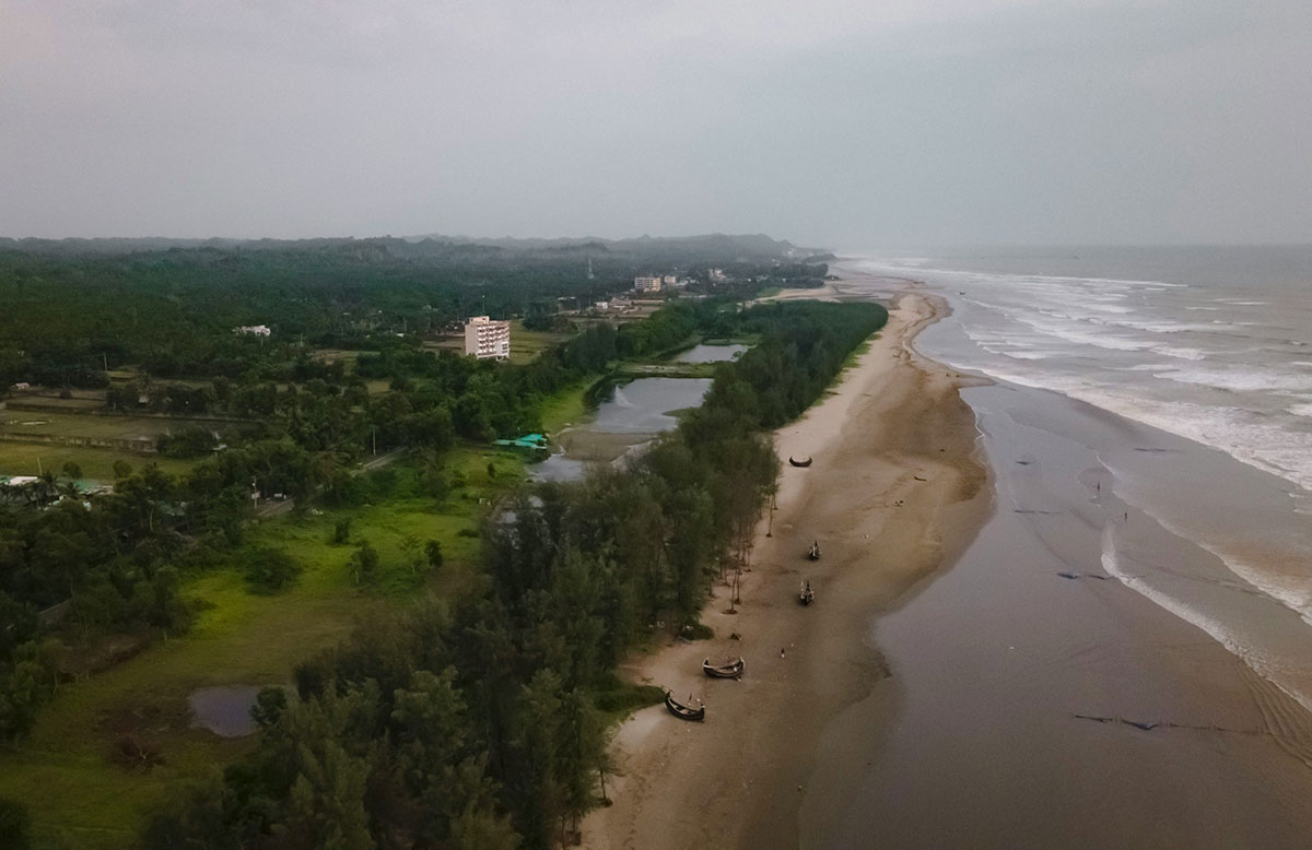
Challenge
Non-seismic tsunamis in Indonesia bypass seismic-based warning systems, exposing coastal communities to sudden mass-casualty events.
Solution
Researchers and communities combine hazard mapping, wave modeling, and evacuation planning to reduce non-seismic tsunami risk.
Overview
Indonesia’s location along active tectonic and volcanic zones exposes it to complex and cascading hazards. While tsunami preparedness systems traditionally focus on earthquake triggers, recent disasters demonstrate that non-seismic events – such as volcanic collapse and landslides – can generate destructive waves and not be detected in time.
In 2018, the collapse of a 1.02 × 10⁸ m³ segment of the Anak Krakatau volcano triggered the Sunda Strait tsunami, generating waves over 13 meters high, killing over 400 people, and displacing thousands (Desportes et al. 2024). In the same year, the Palu Bay tsunami, triggered by a combination of an earthquake and landslides, produced waves reaching 10 meters, caused severe liquefaction (when water-saturated soil temporarily behaves like a liquid), and claimed more than 2,000 lives (Desportes et al. 2024). These cascading disasters caused over 2,400 deaths and exposed gaps in Indonesia’s disaster management framework.
The Indonesian Tsunami Early Warning System (InaTEWS, later known as InaTT) has relied primarily on seismic signals and does not detect non-seismic triggers. Moreover, urbanization along coastlines, weak enforcement of building codes, and limited community awareness intensify vulnerabilities. Addressing this risk involves technological upgrades, institutional coordination, and community-level preparedness measures.
The Tsunami Risk project
The Tsunami Risk project adopts an interdisciplinary approach to preparedness for non-seismic tsunamis. It combines geoscientific research, social science insights, and policy-oriented analysis.
Hazard maps identifying high-risk zones for landslides, earthquakes, and volcanic activity are a core contribution of the project. These maps provide data for disaster modeling and support the development of actionable strategies for preparedness. Experimental wave formation studies conducted in controlled environments generate data that strengthen disaster modeling and scenario analysis.
The project also emphasizes international collaboration. Workshops and field visits have involved participants including German and Indonesian researchers, policymakers, and local communities. These exchanges facilitate knowledge sharing among researchers, policymakers, and communities. Despite those successes, logistical challenges, such as restricted field access and reliance on remote sensing, have underscored the need for more streamlined international collaboration.
The Ina2Core project
The Ina2Core project, led by Indonesian scientists, prioritizes community-driven solutions to non-seismic tsunami risk. It operates through participatory methods that integrate traditional and indigenous knowledge with scientific expertise.
Ina2Core focuses on practical preparedness measures. Community insights inform evacuation route design tailored to local geography and settlement patterns. Awareness campaigns address misconceptions about non-seismic tsunamis and strengthen risk communication at the household and community levels.
Collaboration with the Indonesian Agency for Meteorology, Climatology, and Geophysics (BMKG) and National Agency for Research and Innovation of The Republic of Indonesia (BRIN) supports incorporation of findings into national disaster preparedness plans. This engagement helps translate local experience and scientific analysis into policy-relevant actions.
Ina2Core operates without substantial external funding and relies heavily on sustained community engagement.
Despite progress, challenges persist. Fragmented institutions, resource shortages, and limited access to critical data constrain coordination and scaling. The merger of research agencies into BRIN and reduced funding for non-seismic tsunami research create additional pressures.
Toward integrated disaster risk reduction
The Tsunami Risk and Ina2Core projects address preparedness through both technical and community-based measures. Hazard mapping, wave modeling, and monitoring upgrades expand technical capacity. Community-led evacuation planning and awareness initiatives strengthen local response.
Addressing non-seismic tsunami risk involves coordination across scientific institutions, policy actors, and communities. Institutional coordination, data accessibility, and sustained collaboration affect the implementation of preparedness measures across Indonesia’s coastal regions. Meanwhile, partnerships among researchers, policymakers, and communities influence the development of context-specific adaptation strategies. Continued engagement between scientific institutions and local actors will contribute to efforts to reduce vulnerability to future cascading disasters.
Acknowledgements
This report draws from work by UNDRR (2024) and from the document, “Applying a ‘Cascading Disasters’ Approach: Warning of Non-Seismically Induced Tsunamis In Indonesia’ (Desportes et al. 2024). Acknowledgement is also given to the original authors of “Enhancing the science-policy linkages using traditional and indigenous knowledge.” Reported by IGES, edited and updated by AP-PLAT.
Related Information
Words into Action guidelines: The Science–Policy–Society ecosystem for disaster risk reduction. (2024, October 4). UNDRR.
https://www.undrr.org/publication/words-action-guidelines-science-policy-society-ecosystem-disaster-risk-reduction
Desportes, I. Dalimunthe, S.A. Suriarti, G.A.K. 2024. Applying a “Cascading Disasters” Approach: Warning of Non-Seismically Induced Tsunamis In Indonesia. Words into Action guidelines: The Science–Policy–Society ecosystem for disaster risk reduction. UNDRR.
https://www.preventionweb.net/resource/applying-cascading-disasters-approach-warning-non-seismically-induced-tsunamis-indonesia
 DISCOVER MORE

