 Asia - Philippines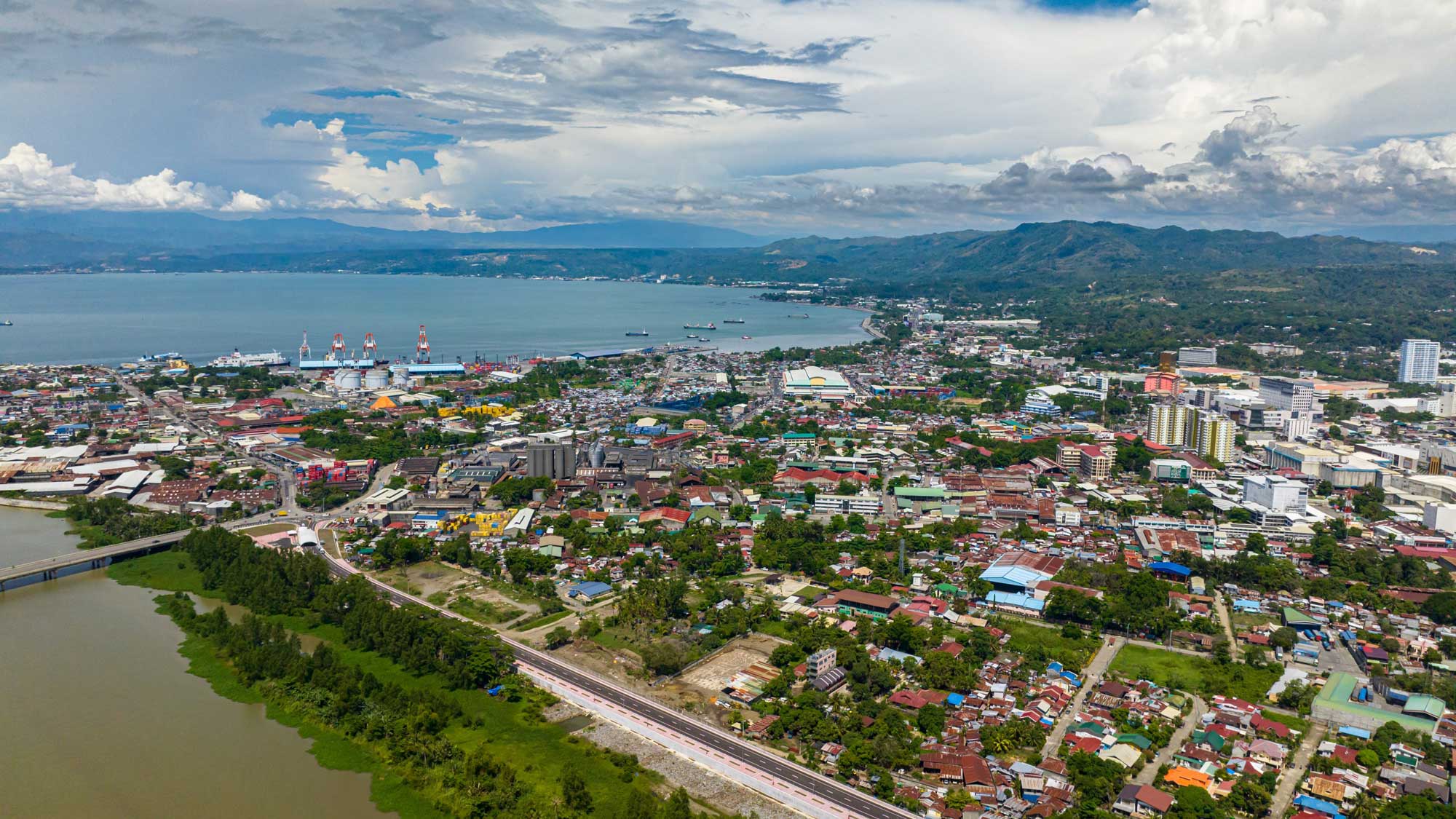
Challenge
The city of Cagayan de Oro, Philippines, faces flooding, heat stress, storm surges, and landslides, with climate projections indicating worsening rainfall extremes.
Solution
The Lunhaw Strategy combines flood management, urban greening, and nature-based solutions through a “Resist, Delay, Store, and Discharge” framework.
Overview
Cagayan de Oro (CDO) is a first-class, highly urbanized city in Northern Mindanao, Philippines, spanning 57,851 hectares across 80 barangays (the smallest administrative units in the Philippines), with a population of around 746,000 as of 2020 (UN-Habitat, 2022). Known as the “Gateway to Northern Mindanao,” CDO is a trade and logistics hub connected by its deep-water seaport and Laguindingan Airport. However, rapid urbanization and economic development come with challenges, especially in the face of increasing climate-related risks, primarily flooding, heat stress, storm surges, and rain-induced landslides.
In response, CDO developed the Lunhaw Strategy, an initiative under the city’s Local Climate Change Action Plan (LCCAP) aimed at transforming CDO into a climate-resilient urban area. Built around the “Resist, Delay, Store, and Discharge” framework, the strategy combines hard and soft infrastructure solutions to manage floodwaters, policies to slow runoff, innovations in water storage, and improved drainage systems to discharge excess water from flood-prone areas. It also emphasizes nature-based solutions (NbS), such as urban forestry, riparian reforestation, and the expansion of green spaces to mitigate heat stress and improve water management.
Climate context
Under the worst-case climate scenario (RCP 8.5), wet-season rainfall (December to February) may increase by 28.1%, while dry-season rainfall (March to May) could decrease by 20% by mid-century (DOST-PAGASA, 2021). Over 74,000 residents in 59 barangays are currently exposed to flood depths of 1.5 m, and 42 of the city’s 80 barangays experience heightened temperatures due to the urban heat island effect, where the concentration of buildings and roads leads to substantial warming.
The increased heat also causes health issues such as dengue fever, with more than 1,500 recorded cases in 2019, and eight deaths (UN-Habitat, 2022). Coastal areas are at risk of storm surges, and the city’s upland regions are vulnerable to rain-induced landslides, a threat made worse by ongoing deforestation.
From Typhoon Sendong to the Lunhaw Strategy
Typhoon Sendong in 2011 exposed CDO’s vulnerability, with devastating floods caused by extreme rainfall. Adaptation efforts that followed led to the Twin Phoenix Project in 2012, which focused on flood mapping and disaster risk management.
CDO formulated a Vulnerability and Adaptation Assessment (VAA) in 2013, conducted a greenhouse gas (GHG) inventory in 2016, and created the LCCAP in 2017 with support from the United Nations Human Settlements Programme (UN-Habitat). In 2017, CDO was also selected as one of five cities to participate in the Building Climate Resilience through Urban Plans and Designs (BCRUPD) project, which further strengthened the city’s capacity to plan for climate resilience.
Strategy design and scope
The Lunhaw Strategy was initially conceived as a site-specific project for the downtown area (Poblacion) and later expanded to include high-risk barangays such as Bulua, Kauswagan, Iponan, and Macasandig. The strategy is divided into three segments: Lunhaw Central (Poblacion area), Lunhaw West, and Lunhaw East. Each segment addresses specific risks and implements climate adaptation interventions tailored to local communities.
The Lunhaw Strategy integrates CDO’s Comprehensive Land Use Plan (CLUP), aligning urban development with climate resilience. Part of this integration is the creation of “green loops,” which promote walkability, reduce heat stress, and improve public spaces. CDO’s continual implementation of these initiatives helps it to serve as a model for other cities facing similar climate challenges. The city is focusing on technical solutions and community empowerment, preparing for future climate impacts while creating a more sustainable, inclusive, and resilient urban environment.
Acknowledgements
This report draws from the work of the Cagayan de Oro City Technical Working Group, as documented in the report, “Path to Climate Resiliency: Case Studies of Philippine Cities” (UN-Habitat, 2022). Reported by IGES, edited and updated by AP-PLAT.
Related Information
- Path to Climate Resiliency: Case Studies of Cities in Philippines
https://unhabitat.org/path-to-climate-resiliency-case-studies-of-cities-in-the-philippines
- Case Study on the Path to Climate Resiliency – Cagayan de Oro City
https://www.international-climate-initiative.com/en/iki-media/publication/case-study-on-the-path-to-climate-resiliency-cagayan-de-oro-city
- [UN-Habitat]. 2022. Path to Climate Resiliency: Case Studies of Cities in the Philippines
https://unhabitat.org/path-to-climate-resiliency-case-studies-of-cities-in-the-philippines
- [Philippines Board of Investments]. (2018, December 24). Setting another record-breaking performance: BOI investment approvals breach php907b level in 2018.
https://boi.gov.ph/setting-another-record-breaking-performance-boi-investment-approvals-breach-php907b-level-in-2018
- DOST-PAGASA, Manila Observatory and Ateneo de Manila University, 2021. Philippine Climate Extremes Report 2020: Observed and Projected Climate Extremes in the Philippines to Support Informed Decisions on Climate Change Adaptation and Risk Management. Philippine Atmospheric, Geophysical and Astronomical Services Administration, Quezon City, Philippines.
 DISCOVER MORE

